EVOLVE BACK
CHIKKANA HALLI ESTATE
COORG, KARNATAKA, INDIA
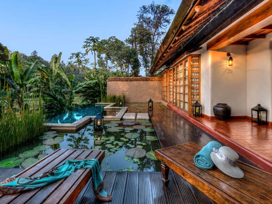
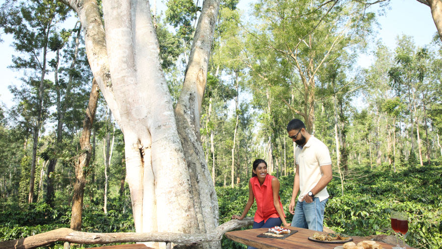
Ensconced in the cocooned comforts of a lush 300-acre plantation paradise, this enchanting resort nestled in the hills, is perfumed with the subtly intoxicating aroma of coffee and spice.
Ensconced in the cocooned comforts of a lush 300-acre plantation paradise, this enchanting resort nestled in the hills, is perfumed with the subtly intoxicating aroma of coffee and spice.
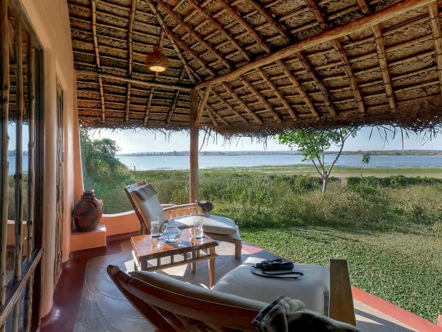
Inspired in design by the Hadis or villages of the Kadu Kuruba tribe, this picturesque wildlife resort of sweeping panoramic vistas, is bordered on two sides by the Kabini River.
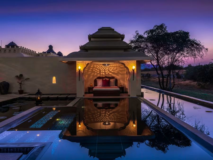
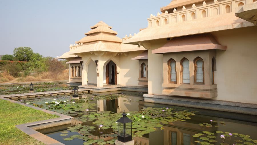
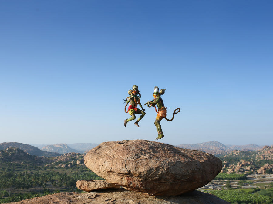
With stunning rugged forests and giant boulders forming its backdrop, this palace resort, with its stone-paved boulevards, arched hallways and regal chambers mirrors the famed palaces of the glorious Vijayanagar Empire.

This classically African-style tented camp set amidst a private game reserve, harks back to the time of the early explorers. Situated on the northern border of the Central Kalahari Game Reserve, the lodge offers the definitive Kalahari experience.
Rs. 4000/- meal credit | Best price guarantee
Special discounted rates starting from Rs. 41,000/- per night

In our journey towards sustainability, Evolve Back is happy to announce the launch of Electric Vehicle charging facilities at our resorts in Coorg, Kabini and Hampi.

Alliance Air launches daily direct flights from Hyderabad and Bangalore to Hampi.

With the launch of new airports, frequent flights and improvements in road connectivity through new expressways, the travel time and associated fatigue to reach our resorts in Karnataka at Coorg, Kabini & Hampi have reduced considerably.

Evolve Back, in association with Sky Waltz, proudly launches Hot Air Ballooning in Hampi – a first for southern India. To reserve your Hot Air Balloon experience, please go to the final payment page of your room booking and add the “Hot Air Balloon Experience” option to your package.
We at Evolve Back love to share with people simple yet compelling stories about the nature, culture and people of our land. A symbiosis that we explore and celebrate through expressive and uplifting videos, photos and more.
EXPLORE OUR STORIES